
Active Weather Alerts for Anatone |
Red Flag Warning issued August 1 at 2:46AM PDT until August 1 at 11:00PM PDT by NWS Pendleton OR |
Red Flag Warning issued July 31 at 11:53PM PDT until August 1 at 11:00PM PDT by NWS Spokane WA |
Air Quality Alert issued July 31 at 12:29PM PDT by NWS Spokane WA |
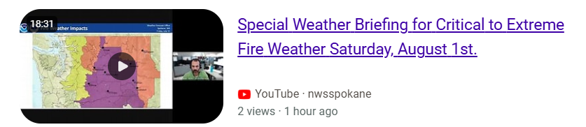
Particularly Dangerous Situation has been identified by the National Weather Service in Spokane. Here is the
link to the Fire Weather Briefing for Saturday August 1st. Be careful to not start any fires and be prepared
to evacuate if needed. This Red Flag Warning is not like our normal warnings. The winds will be much stronger
than we normally see during the summer.
We are located just south of Anatone, Washington and are at about 3800 feet elevation.
The weather camera image updates every 5 minutes.
The road camera updates every 10 minutes.
Weather Camera
The weather camera is facing North West.![Current conditions camera.]()
The weather camera is facing North West.
Highway 129 Road Camera
This camera is located near Smyth Rd which is about 1/2 mile North of the Rattlesnake summit. This is a private camera located on Private Property and is not associated with the WSDOT.![View of the Highway 129 road conditions.]()
This camera is located near Smyth Rd which is about 1/2 mile North of the Rattlesnake summit. This is a private camera located on Private Property and is not associated with the WSDOT.
Current conditions for Highway 129 and Montgomery Ridge
**Seeing the weather station is surrounded by trees the wind won't register as high as some of the open fields around Anatone.
**Seeing the weather station is surrounded by trees the wind won't register as high as some of the open fields around Anatone.
Temperature
--
Wind
--
--
Humidity
--
Pressure
--
Rain Today
--
Last updated: --
Today's Summary
Today's High:
--
Today's Low:
--
Today's Max Gust:
--
Today's Rain:
--
Today's Rain Breakdown
12am–6am:
--
6am–12pm:
--
12pm–6pm:
--
6pm–12am:
--
Historical records for today
Historical record began on 11/04/2022
Record High:
--
Record Low:
--
Record Rain:
--
Record Wind Gust:
--
Historical record began on 11/04/2022
Yesterday's Summary
Yesterday's High:
--
Yesterday's Low:
--
Yesterday's Max Gust:
--
Yesterday's Rain:
--
Yesterday's Rain Breakdown
12am–6am:
--
6am–12pm:
--
12pm–6pm:
--
6pm–12am:
--
Sangster Road
**Located near the intersection of Sangster Road and Forgey Road. This weather station is owned and operated by Asotin County Conservation District.
**Located near the intersection of Sangster Road and Forgey Road. This weather station is owned and operated by Asotin County Conservation District.
Onstot Road
**Located near the intersection of Onstot Road and Davis Road. This weather station is owned and operated by Asotin County Conservation District.
**Located near the intersection of Onstot Road and Davis Road. This weather station is owned and operated by Asotin County Conservation District.
Asotin Grade
**Located along Highway 129 near the top of the Asotin Grade. This weather station is owned and operated by Asotin County Conservation District.
**Located along Highway 129 near the top of the Asotin Grade. This weather station is owned and operated by Asotin County Conservation District.
Cloverland
**Located near the junction of Johnson Road and the Cloverland road. This weather station is owned and operated by Asotin County Conservation District.
**Located near the junction of Johnson Road and the Cloverland road. This weather station is owned and operated by Asotin County Conservation District.
Current Radar
Current Weather Warnings


